What characterizes a hillslope? How do you define indeterminate boundaries? Answering these questions can have a high degree of empiricism because the answer varies from analyst to analyst. In order to accurately assess the terrain, it can be necessary to quantify its characteristics. This is done by first understanding what defines a land-surface object such as a dune or a glacier, then figuring out what numerical characteristics are unique to that object. As complexity increases, there eventually comes a point at which the analyst has to determine what is relevant to the scope of the project. This is where cartography can become empirical in nature resulting in a field that requires more than just design skills.
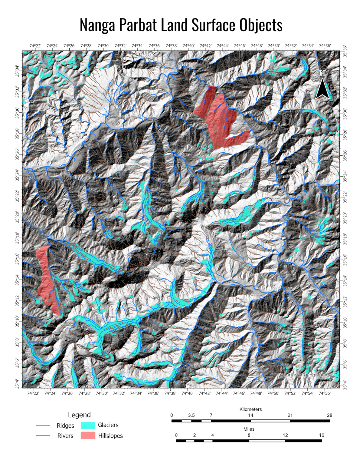
Above is a map of semantically defined land surface objects in the Nanga Parbat region of the Himalayas. The slope angle, slope azimuth, planarity, and curvature were determined for each cell in the raster using a high-resolution digital elevation model. Rivers, ridges, glaciers, and hillslopes (in this case, slip faces) all have a certain combination of slope angle, slope azimuth, planarity, and curvature that defines them and makes them unique. By selecting the numeric physical and spectral characteristics that are unique to glaciers, I was able to highlight all of those features in this region. The same procedure was performed for the other features.
For example, the qualitative aspect of the semantic model for a river is that it represents the lowest point at which water flows in a given region. It has high negative openness and is almost the direct inverse of a ridge. I mapped it by creating a flow direction map using a D8 flow direction then I highlighted the flow accumulation. Flow accumulation range is HUGE when dealing with a mountainous region such as Nanga Parbat. Therefore, my range for the threshold was a flow accumulation of greater than 5000 (pixels) to highlight the stream networks that were large enough to be considered part of the network.
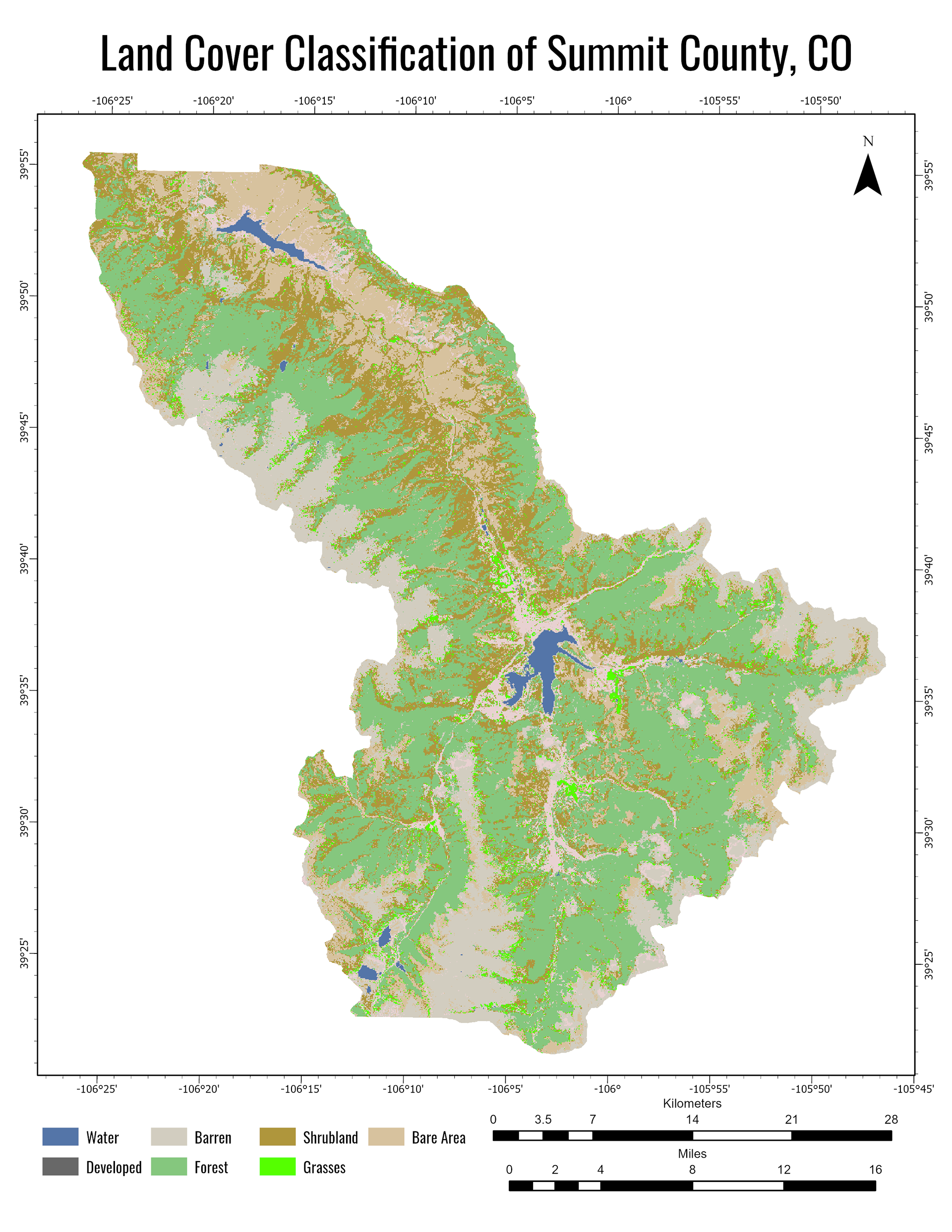
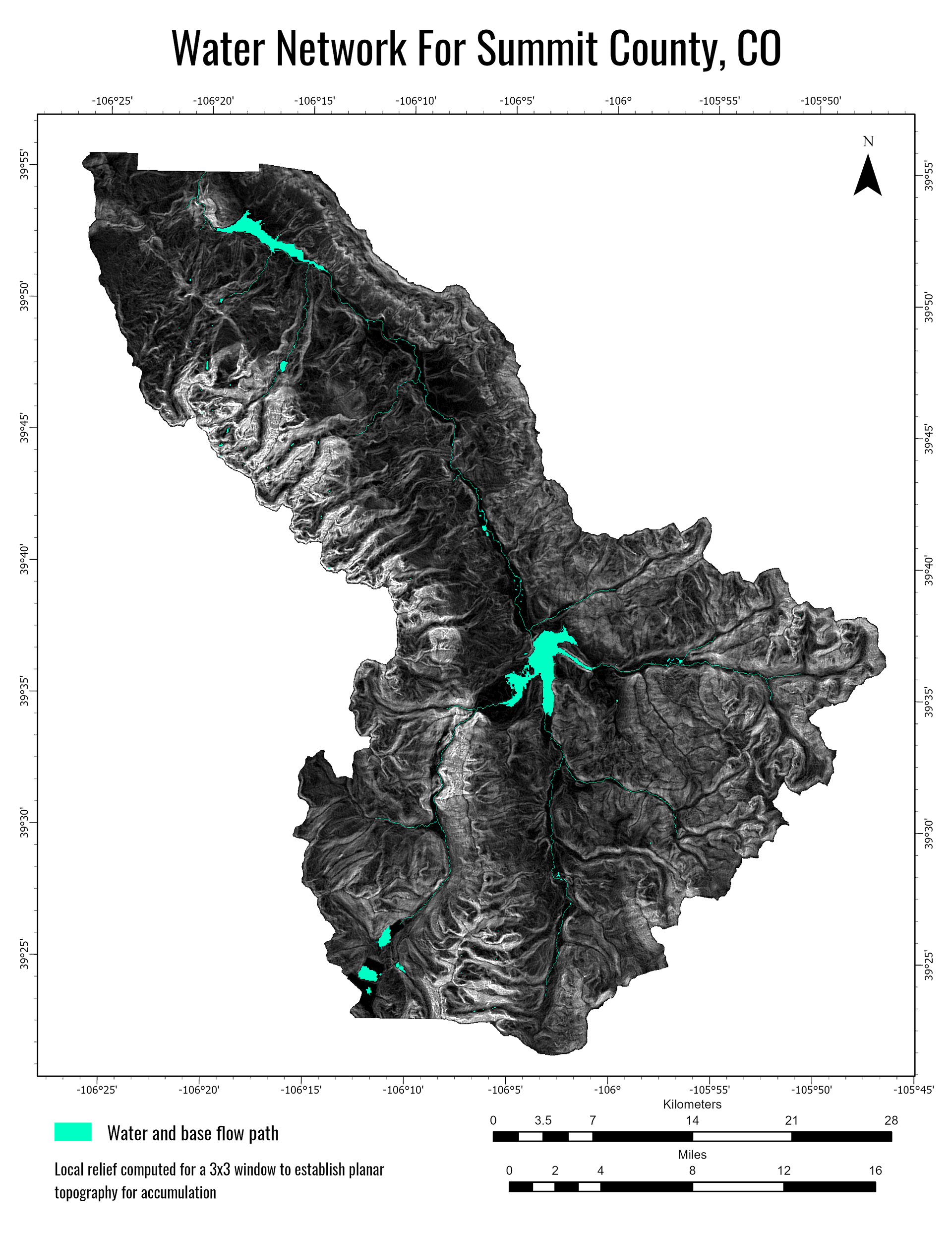
What's the deal with the Summit County maps? I did a spatio-temporal sustainability analysis of the tourism industry in the area to understand the effect on the water table as a result of seasonal influx and artificial snow production. Reach out to me to learn more! I'm passionate about this, but it is difficult to encompass in a few paragraphs.
