I graduated from Texas A&M University with a B.S. in Geographic Information Science and Technology for Earth Systems Analysis. This means that the whole focus of my degree was to understand and quantify the natural environment through the use of geospatial data and technology.
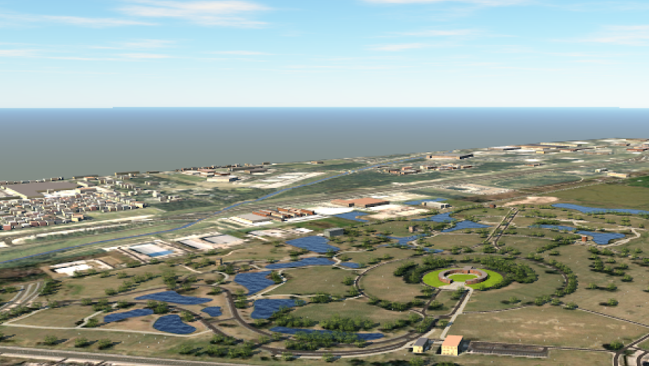
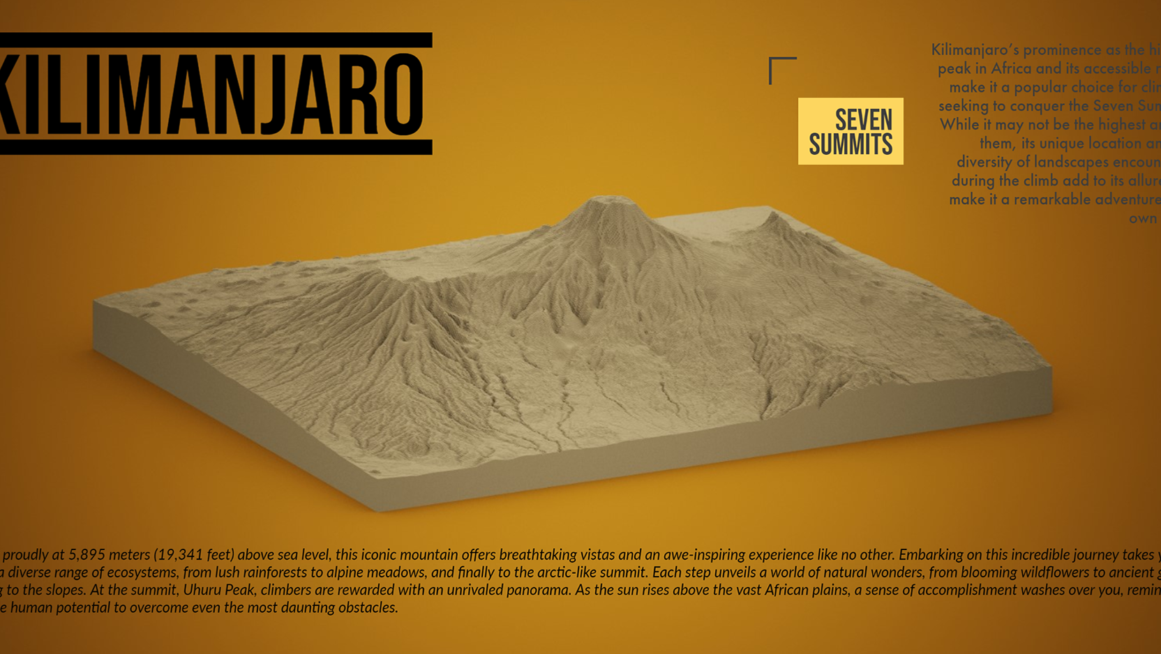
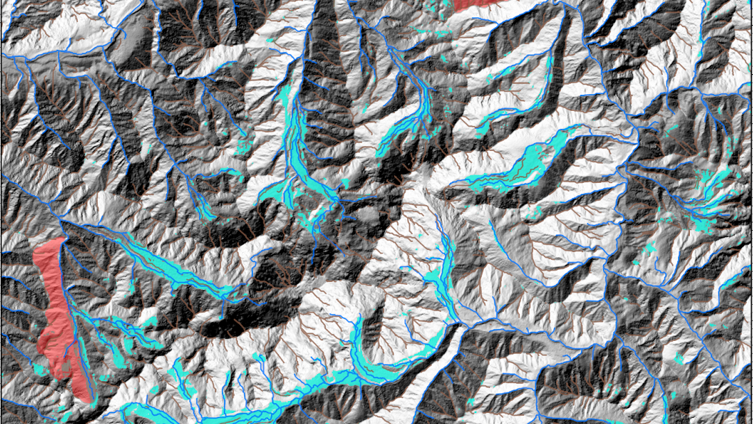
In regard to ecologic, geologic, hydrologic, and geomorphometric environments, I often conducted spatial analysis through the integration of geospatial databases while using code-driven analytical tools to generate and synthesize new information about a domain. After analysis and synthesis comes the product. I create cartographic productions of all sorts, virtual modules, story maps, and interactive web applications to convey findings.
Coursework at Texas A&M University
Cartography & Visualization
Geomorphology
Geology
Hydrogeology
Ecology
Principles of GIS
Advanced GIS
Python for GEosciences
Global Climatic Regions
Geodatabases
Terrain Analysis Mapping
Engineering Chemistry
CALCULUS I, II, & III
Engineering PHYSICS
Geometric modeling
Engineering MEchanics
MECHANics of MAterials
Materials Science
Bioenvironmental Science
Data ANaylsis in GEoscience
Global Navigation Satellite Systems
Digital iMage PRocessing


